Prom Country
Find ACTIVITIES & ATTRACTIONS
Activities by Location:
Prom Country
Search by Activity Type:
Prom Country Activities & Attractions
Activities & Attractions - Tarwin Lower & Venus Bay | |||
 |
| ||
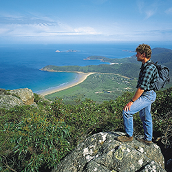
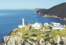
| Wilsons Promontory National Park - 1 hours drive east of Tarwin Lower Approx 52kms. The only word to describe Wilsons Promontory is breathtaking with this world spectacular being the southern most point of mainland Australia. No admittance fee, take a picnic lunch and spend the day exploring. | |||
 |
| ||
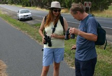
| Commences just past the hotel in Tarwin Lower and winds around the river to Venus Bay a distance of some 5km one way. The track has an excellent firm surface taking you past many fishing spots on the banks of the river, BBQ's and picnic areas. | |||
 |
| ||
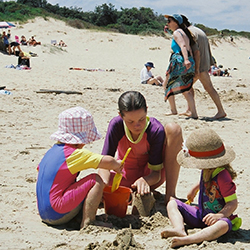
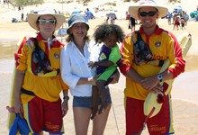
| 26kms of magnificent, unspoilt sandy beaches. For the location of the 5 Venus Bay beaches go to Local Map. Beach 1: is located just past the shops via Surf Drive. Large carpark, public toilets and showers, kiosk, patrolled summer Holidays. Beach 2: Via Inlet View Road, walk through dunes to beach. Beach 3: Via Canterbury Road. Small car park. Beach 4: Via Zenner Drive 2nd Estate. Small Car Park. Beach 5: Via Atherton Drive 2nd Estate. Small Car Park. Only Beach 1 is patrolled so be aware of conditions if swimming at any other beach. | |||
 |
| ||
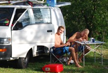
| Bear Gully is 25kms from Tarwin Lower Situated in Cape Liptrap Coastal Park between Cape Liptrap Lighthouse and Walkerville South has a camping ground run by Parks Victoria (Info 13 1963) Campers must be self sufficient and be aware where you camp as inclement weather is not unusual being so close to Bass Strait. Toilets are provided, dogs are not permitted in the campground or adjacent beach at any time. Stock up at Tarwin Lower or Venus Bay before heading down this area of Victoria's South Coast. | |||
 |
| ||
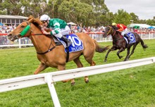
| South Gippsland Highway Stony Creek via Meeniyan VIC Country racing is great day out for all the family. Stony Creek offers professional racing with a picnic type atmosphere-there is always something going on for the kids and adults alike, not forgetting the competitive racing. Note: No BYO or glassware permitted on track | |||
 |
| ||
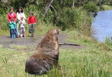
| You never know who may drop in for a break. Ths well fed seal suns itself of the banks of the Tarwin River after making its way from the open ocean of Bass Strait into Anderson Inlet then into the Tarwin River much to the delight of these holiday makers. | |||
 |
| ||
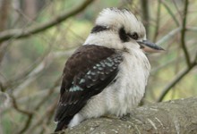
| Approx 4kms from Tarwin and 10kms from Venus Bay. At the roundabout in Tarwin just past petrol station turn right onto Walkerville Road. Travel approximately4kms then turn left at the Bald Hills Wetland Reserve sign. Unmade road for next 4kms, turn left into the reserve and this track will take you to the lake with the bird observatory.(Go to Menu see Map)). Parks Victoria acknowledges the Aboriginal Traditional Owners of Victoria - including its parks and reserves. Through their cultural traditions, the Boon Wurrung, Bunurong and Gunaikurnai identify the Bald Hills Wetland Reserve as their Traditional Country. | |||
 |
| ||
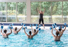
| 5 Lindsey Close Inverloch VIC 3996 Heated indoor pool, outdoor pool, tennis court, steam room, fully equipped gym, spa, hairdresser, massage, aqua classes beauty treatments, myotherapy. Accommodation available. | |||
 |
| ||
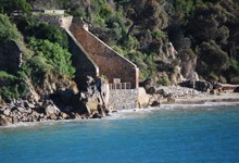
| Walkerville – 21 klms from Tarwin Lower is one of the oldest establishments in Victoria, and is reminiscent of a Cornish fishing village but was actually established as a port for the transport of lime. The remains of the old lime kilns set in the cliffs can still be seen and are well worth the visit. In the early days workers at the lime kilns tried their luck panning for gold - a small amount was found in the area. | |||
 |
| ||
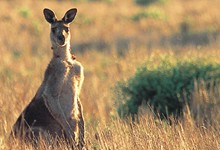
| Instead of turning off at Fishermans Road continue on for about a kilometre. Around dusk there are many kangaroos to be seen grazing. Do not attempt to feed them, frighten them, or go up to them, as this is their environment. For locations see Tarwin Lower/Venus Bay Map (Go to Menu see Maps) | |||
| |||

