| Accommodation | Food & Wine | Activities | Map | Advertise With Us |
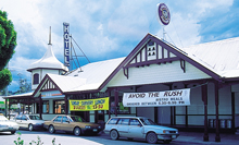
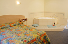
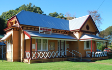
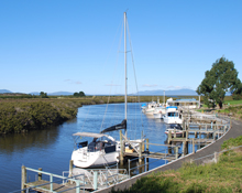
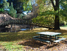
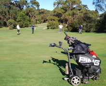
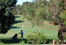
FosterPopulation 1200: Tucked in between the mountains of South Gippsland and the wide expanse of Bass Strait, Foster is 60ks from Tidal River and is the main service town for Promontory Country and Wilsons Promontory visitors. Originally known as Stockyard Creek, it was a stop over for drovers before the discovery of gold bought fame, limited fortune and a new name to the town. Foster was named after magistrate W. H. Foster, who travelled from Sale to camp at Stockyard Creek where he held court. During the gold boom the town had seven hotels and a population of over 2,000 people. Today the town has very good facilities including hospital, ambulance and all health services. A museum which amongst other things houses Harold Lassiter's boat (Lassiters Reef fame). Accommodation includes two motels, caravan park and holiday flats. Sporting facilities included a 18 hole golf course spread out over lush terrain, it tests the best golfers. Fully licensed the golf club has Tabaret Poker machines and a Australian/Chinese menu. Other facilities include tennis courts, swimming pool, bowling club and basketball stadium. The Exchange Hotel has a great reputation for its meals, during summer it is a good idea to get there early. The Hotel was completed in 1907, then owner Anastasia Thornly saw the design on a trip to Ireland loved it and decided to model her hotel along the same lines. As fate would have it the lady died before the completion of the project. BBQ and Picnic facilities and toilet in Pearl Park opposite the museum. Foster North Lookout: 6 kilometres along the South Gippsland Highway to the north-west of Foster. Over 305 metres above sea level, with magnificent vista of Corner Inlet and Wilsons Promontory. Picnic facilities. Grassy Spur: 13 kilometres to the north-west of Foster along the South Gippsland Highway. Reticulated swimming pool. Picnic facilities. Mount Fatigue: 21 kilometres to the north-east of Foster. 579 metres above sea level. A fire watching outpost with a view embracing most of South Gippsland. Mount Nicoll Lookout: 8 kilometres south-west of Foster off Foster Fish Creek Road. Steep gravel road access to car park. steep climb to top of hill. Panoramas over Corner Inlet and Barry Beach to the east, Waratah Bay to the west, and 360 degree views. Turton's Creek: 19 kilometres north of Foster. Scene of early gold discoveries. It is well known for its tree fern gullies and as a a haunt of the lyre birds. Fireplace and picnic tables. For further information call in at the Stockyard Gallery at the roundabout on the outskirts of town. Port FranklinPort Franklin 11kms south-east of Foster is a picturesque fishing village situated on the Franklin River which opens out to the rich fishing grounds of Corner Inlet. Fish from the jetties or purchase fresh fish from the Cripps’s shop on the wharf. |
Click on images to enlarge |
||||||||||||||||||||||||||||||||||||||||||||||||||||||||||||||||||||||||||||||||||||||||||||||||||||||||
Foster Accommodation
Foster Food and Wine
Foster Activities
|
|||||||||||||||||||||||||||||||||||||||||||||||||||||||||||||||||||||||||||||||||||||||||||||||||||||||||
|
|||||||||||||||||||||||||||||||||||||||||||||||||||||||||||||||||||||||||||||||||||||||||||||||||||||||||
| home accommodation food & wine activities map privacy policy website policy advertise | © 2012 Coastal Stays Accommodation |
